
End to End Trail: The Longest Trail

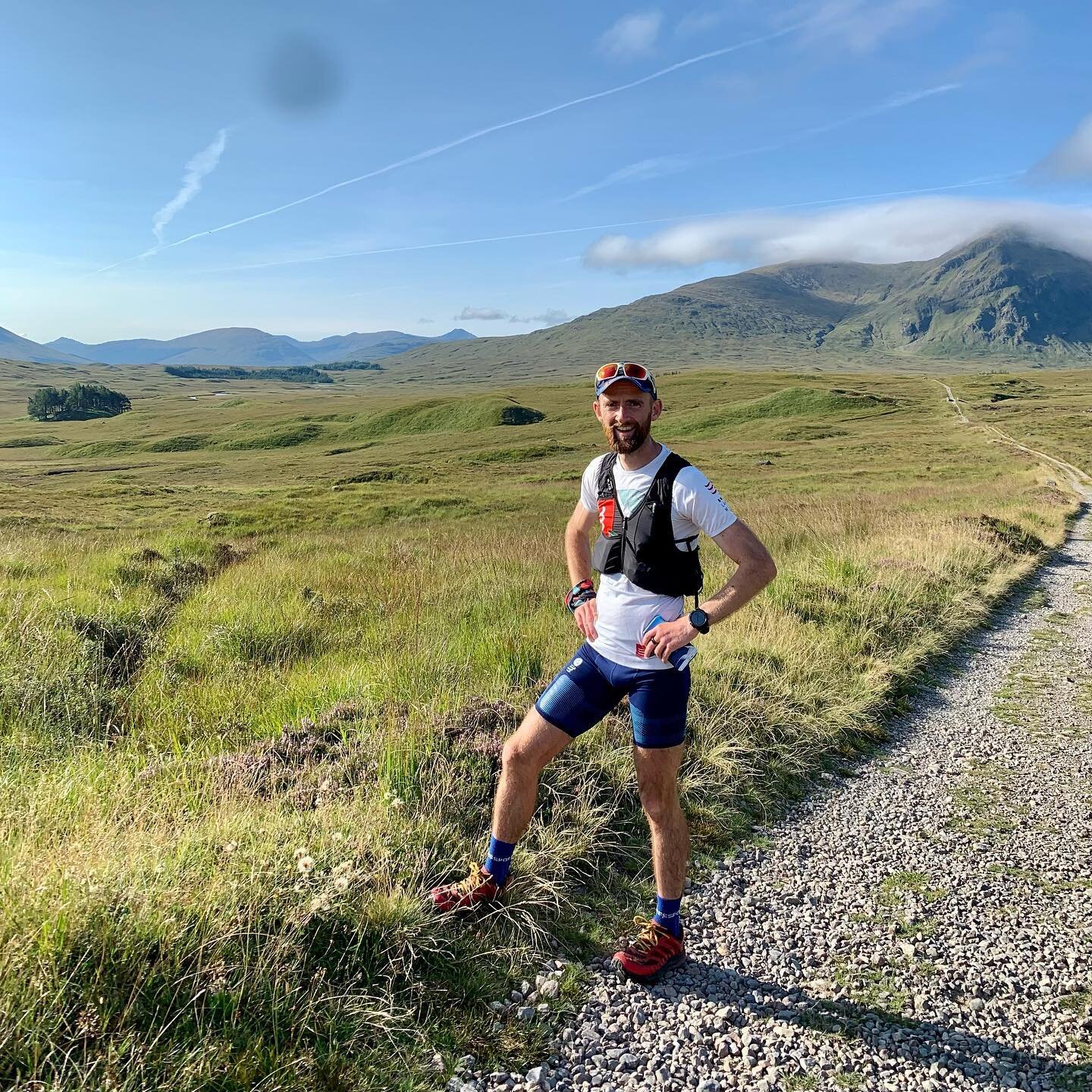
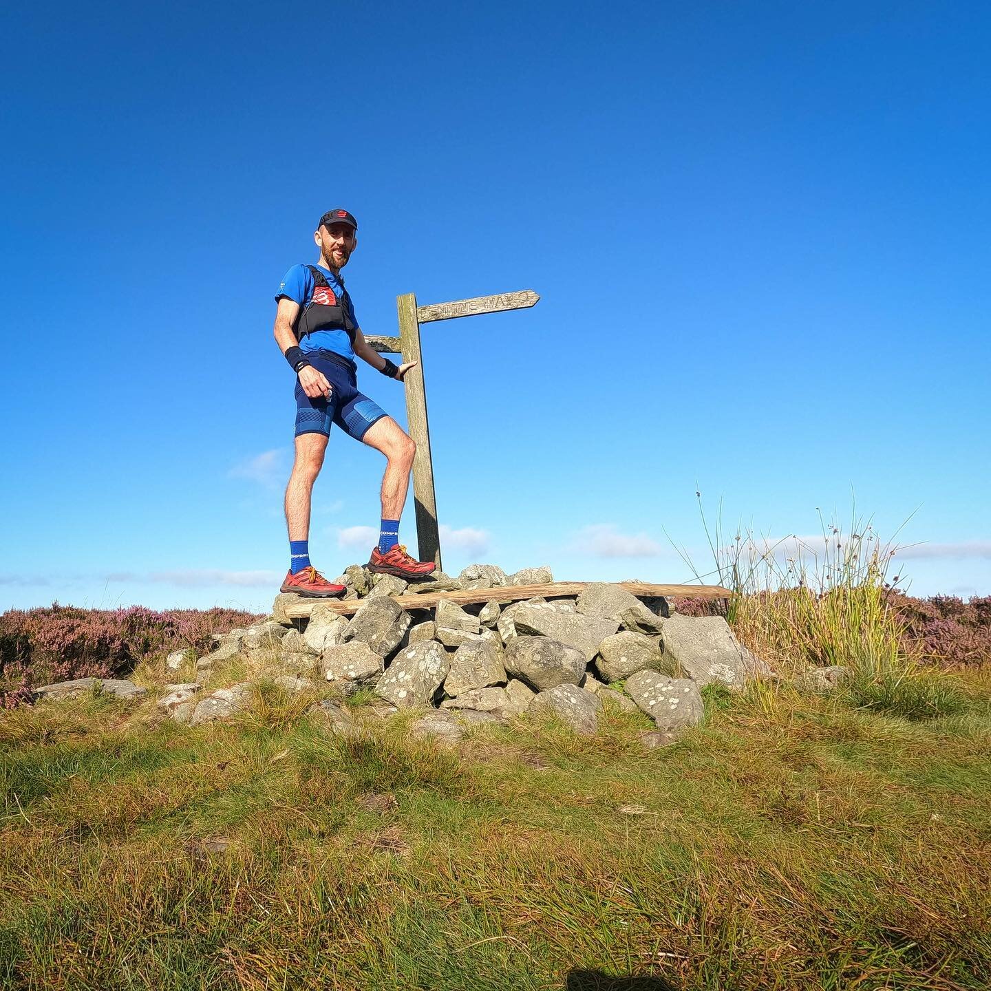
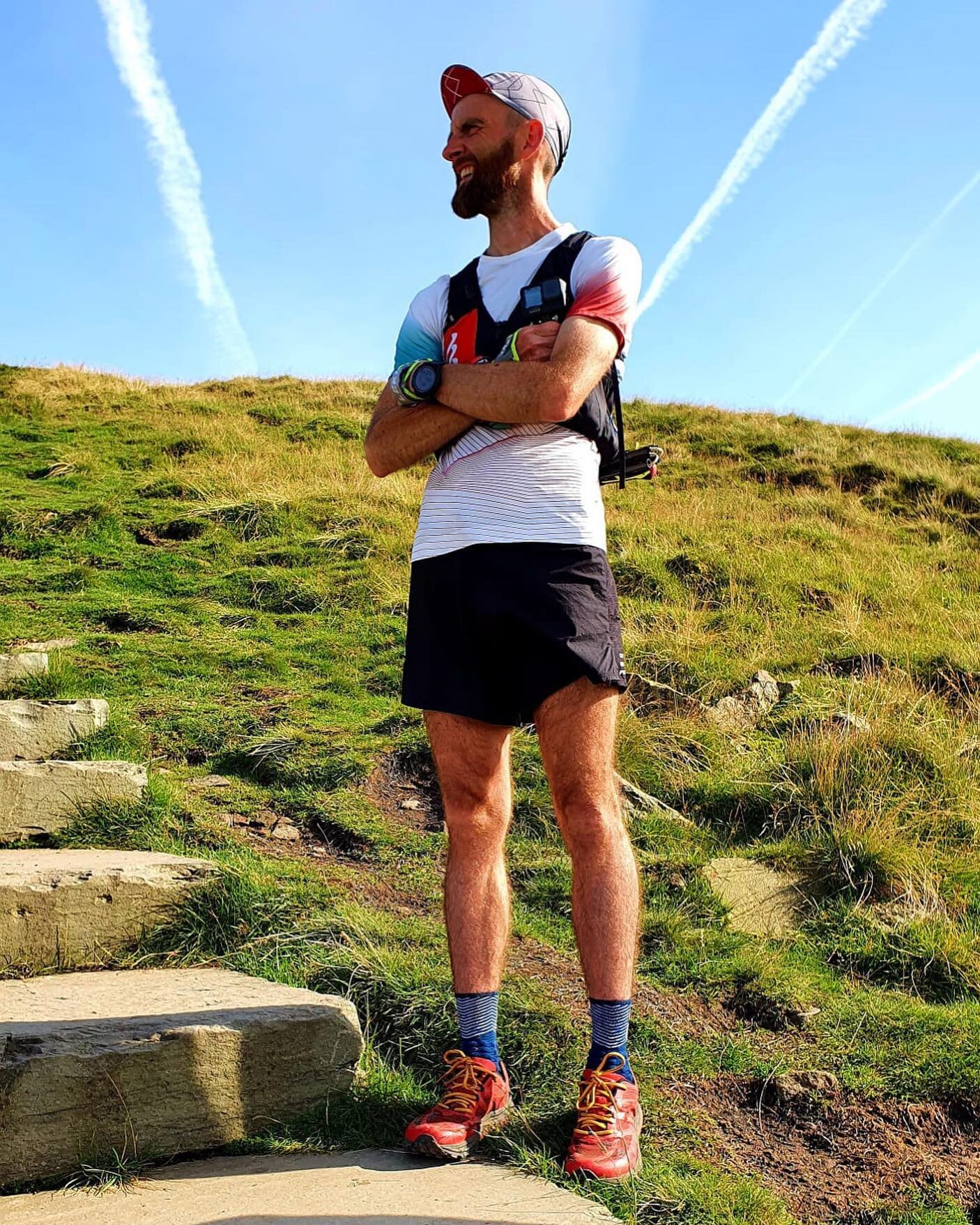
Starting on the 9th August, Paul Giblin (Pyllon founder) will be setting out on a 1,215 mile adventure across the UK. As an elite ultra runner and coach, Paul is looking to further explore the reasons people run, and the role outdoor spaces and trails play in the lives of those who choose to spend their time there. And he’ll do this from the trails and paths of the longest trail route in the UK - the End to End Trail.
Whilst out on this ultra endurance adventure Paul hopes to re-connect with his love of the British countryside and also with the close communities of trail and ultra runners, as he heads north on foot from Britain’s most southerly point - Lands End, towards the most northerly point, John O’Groats.
This will be no leisurely attempt. As a competitive athlete, Paul is attempting to set a bench-mark record on this unique route. The recommended hiking schedule is 61 days, and Paul will be aiming to complete in less than half that time.

Route includes parts of: South West Coastal Path, Pennine Way, West Highland Way and more
There is a lot of history with people attempting to connect up Lands End and John O’Groats - these famous landmarks being the two points on mainland Britain that are the furthest apart. In running, there are new record attempts every year - but these are normally all road based (the shortest / quickest route). Most fail to even complete the attempts. No data can be found on a single running attempt on trail.
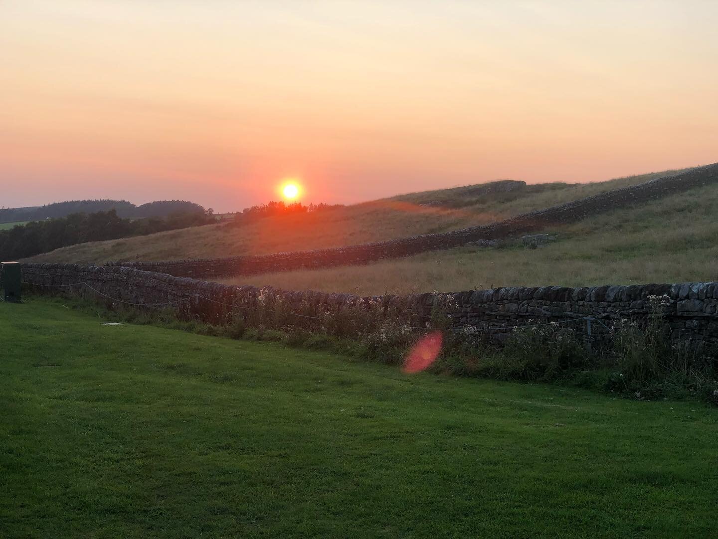
The route will take in some of the UK’s most loved, most remote and dramatic trails - from the rugged South West Coastal Path to the home of the Spine Race - the Pennine Way, from the familiar (to Paul) West Highland Way and back onto the brutal and wild Cape Wrath Trail (where Paul set an FKT earlier this year). The End to End trail aims to join up as much of Britain’s high ground as possible meaning that in total Paul will have to run over 52,000m of positive ascent in order to finish in Caithness, Scotland (almost 6 x the height Mt. Everest).

How TO GET INVOLVED
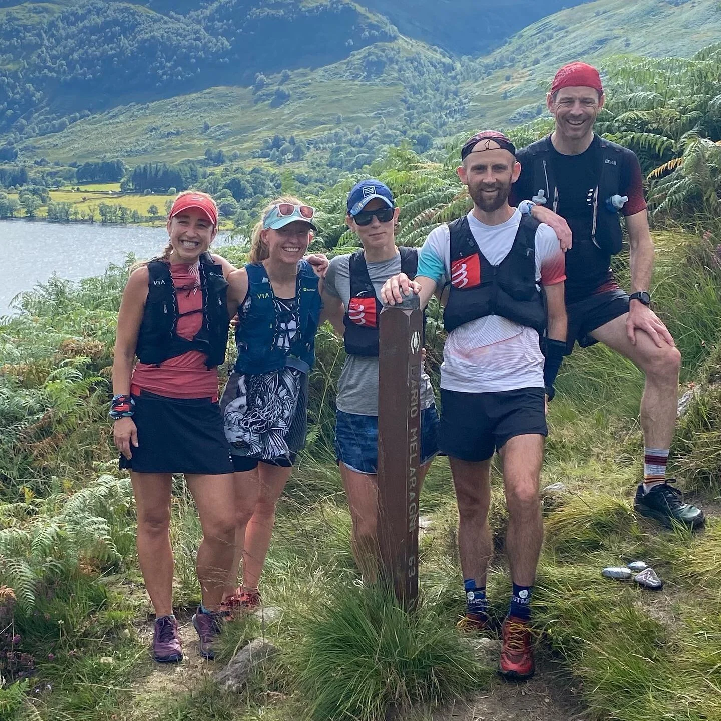
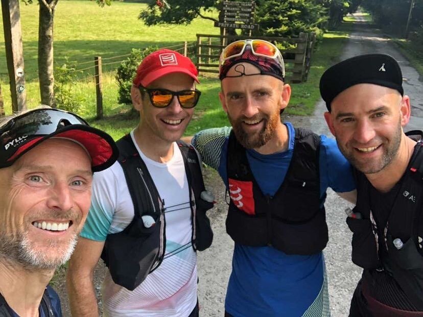
This will be a minimally supported adventure, with one crew for the most-part supporting in a small camper van for clothing changes, food prep, eating and sleeping. They will both be hoping that the running communities across the UK will lend a hand in supporting this bold attempt - from offering some company (or home-cooked food) out on the trails, to the use of a washing machine, a driveway to park a van or just messages of support on social media. There will be a live GPS tracker and if we can we will publish regular running schedules. Connecting with other runners is a key part of this attempt so that we can further understand, document and share why we run, and what we get from spending time moving in the great outdoors.
To get involved as an individual, brand or business please contact Paul at support@pyllonultra.com and follow across social media: @pyllon and @pyllonultra